A “dangerous” storm that could be the strongest to hit the area in years is forecast to move through Southern California from Friday into Saturday, bringing heavy rain, strong winds and the potential for flash flooding and mudslides, according to the National Weather Service.

With moderate to heavy rain expected for prolonged periods of time, some areas could be looking at record-setting rainfall totals on Friday, the weather service tweeted.
As much as 6 inches of rain is expected in coastal and valley areas in Los Angeles and Ventura counties, with 5 to 10 inches predicted on south facing foothills and coastal mountain slopes.
Ahead of the anticipated wet weather, Duarte issued mandatory evacuation orders for 180 homes in the Fish Fire burn area, beginning at 7 a.m. Friday, the city announced in a news release on Thursday. Volunteer evacuations are expected to get underway on Thursday night.
The city, which has been warned of an “atmospheric river event” impacting the area, will also raise the alert level to red, the release stated.
Valley View School will also be closed for the day, the city said.
Displaced residents will be directed to an evacuation center at the Duarte City Hall Community Center located at 1600 Huntington Dr., according to the release.
“I’m a little anxious knowing that we have pack up the house again, twice in one year to get out of our home. We got booted out when the Fish Fire hit, the fire department did a great job and kept us super safe, all of our homes were saved,” Duarte resident Jill Brainard told KTLA. “But this is a little different, you can’t control mudflow and rain.”
Crews have been working around the clock in the Fish Fire burn area to clear drain basins in the Foothills, removing debris to make way for rain water to flow freely into drainage creeks.
Rain is expected to fall beginning late Thursday, with the heaviest precipitation arriving by Friday afternoon.
Forecasters have warned that the wet weather will likely cause reduced visibilities and slicks roads, possibly resulting in travel delays.
“The Friday morning commute is definitely going to be wet,” Kathy Hoxsie, a meteorologist with the National Weather Service in Oxnard told the Los Angeles Times. She said rain would get progressively heavier during the day, and had the potential to wreak havoc on the afternoon rush hour.
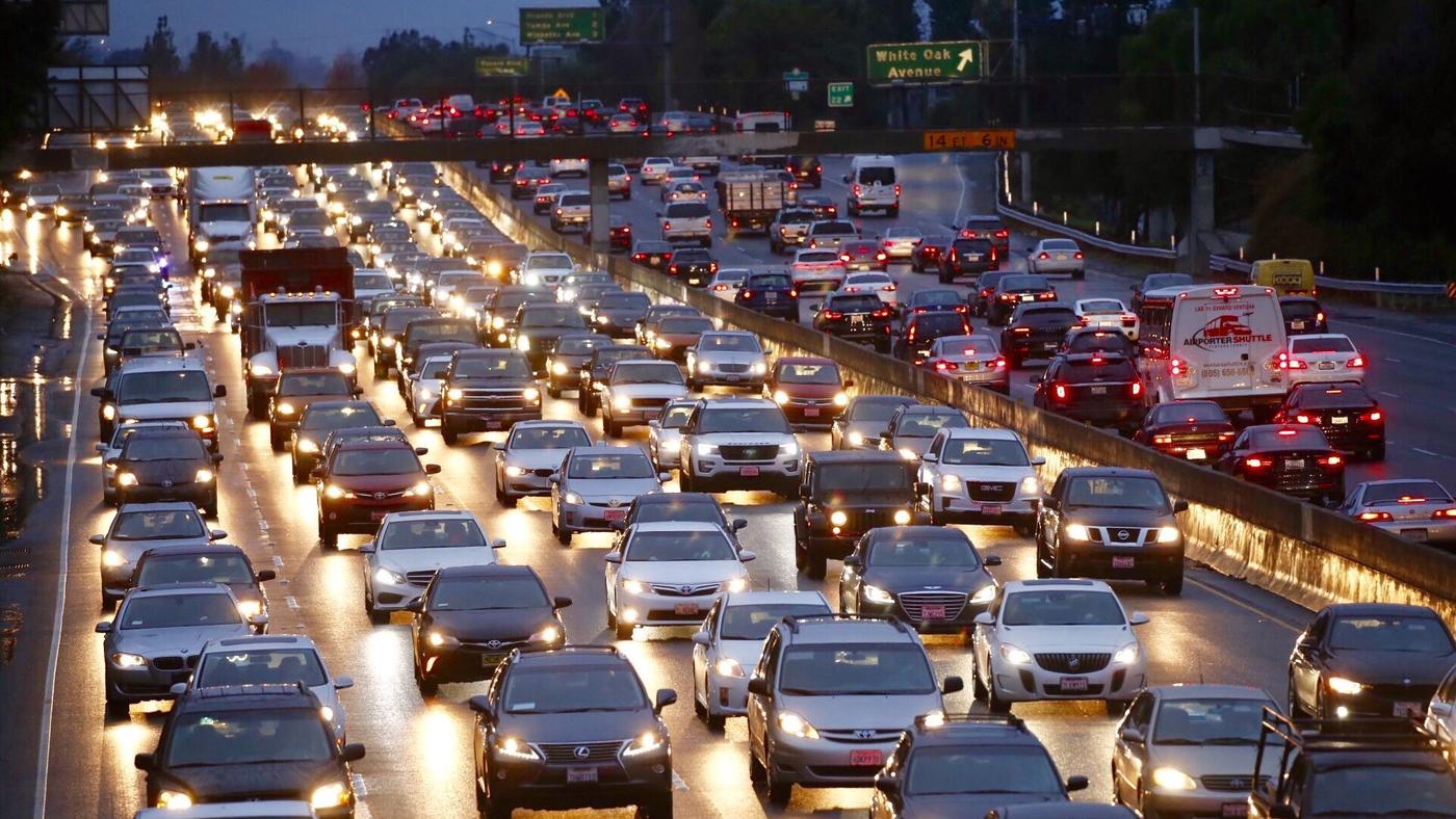
“The afternoon commute is going to be a mess,” she said. “Hopefully people can take a half day off. Being a Friday, I know a lot of people do that anyway … The evening is shaping up to be nasty.”
The storm is expected to be the strongest in the region in the about six years, the Times reported, citing the weather service.
Potential impacts include flooding in urban areas and small streams and flash flooding with mud and debris flows, particularly in recent burn areas, forecasters said.
A flash flood watch will be in effect in L.A., Ventura and Santa Barbara counties between Friday and Saturday mornings, according to the weather service.
In addition to rain, there is also the potential for heavy snow above 7,500 feet, with the possibility of 6 to 12 inches between 6,000 and 7,5000 feet.
The 5 Freeway near the Grapevine will likely be impacted by heavy rain and strong winds. Because of the conditions, the weather service is advising motorists to avoid traveling to the mountains.
Strong, dangerous winds with the potential to down trees and power lines will also likely be an issue during the storm.
“It’s going to be blowing really well,” Hoxsie told the Times. “We’re trying to tell folks, don’t just do your usual preparation for rain, but also, if you’ve got anything outside that could be moved into the garage, this would be the storm where you should do that.”


